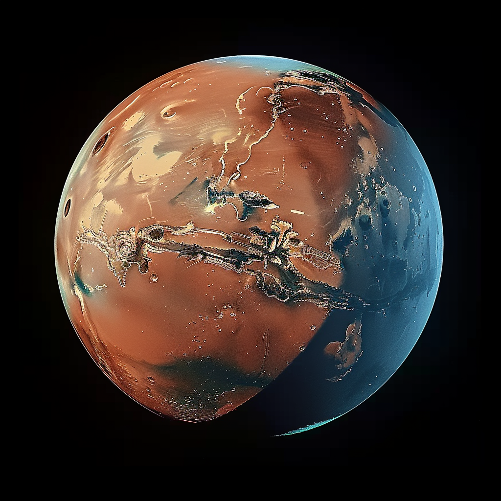
Elevation data could not be loaded in this browser — the globe is showing the surface map only. The topographic view, the sea levels and the depth readings are switched off rather than guessed.
−8 km−40+6+12+21 km
MGS/MOLA elevation above datum
2026
2226
2026
Stage 1 of 4 · 2026
INITIAL RED STATE
As is — the Mars that we know today.
P 006 MBAR · T −63°C · OCEAN 0% · POP 0 · CAPS FULL
Surface map: Solar System Scope (CC BY 4.0). Populations, pressure and temperature are modelled, not forecast.
The record
Topography: MGS/MOLA MEGDR gridded elevation, 4 px/deg, PDS Geosciences Node (public domain), native 1440×720 where the display resolves it, otherwise a 2:1 reduction that keeps each block's extreme.
